
Most projects come to us at one of two moments: before design, when nobody is sure whether the alignment touches forest at all, or after a proposal has come back with queries. Both are workable. The first is cheaper.
What we do
- Forest boundary verification — we establish, from the records and the department's own boundary data, exactly how much of your project area is forest, and which division, range and reserved forest it falls in.
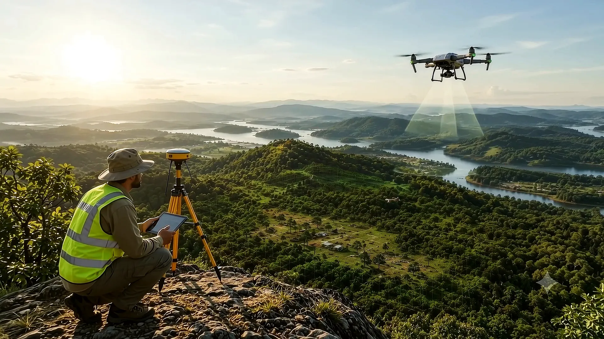
- DGPS and drone survey — boundary points, alignment survey, terrain and orthomosaic where the site needs it.
- GIS mapping and KML preparation — the diversion area, the compensatory afforestation land and the project layout, with areas that tally with the land schedule to three decimals.
- Tree enumeration — species, girth class and count, mapped and keyed to the list.
- Demarcation on the ground — pillars and markings so that what was approved is what gets used.
- DPR and documentation — the project report and the full set of certificates and undertakings.
- PARIVESH filing and follow-up — the submission on behalf of the user agency, and the replies to essential details sought.
- Wildlife, environment and CRZ support — where the project needs those approvals alongside.
Project types we support
| Sector | Typical work |
|---|---|
| Roads and highways | Alignment survey, chainage-wise forest stretches, widening proposals |
| Transmission and distribution | Tower-point surveys, right-of-way mapping, corridor enumeration |
| Water supply and irrigation | Pipeline routes, canal alignments, tank and intake works |
| Mining and quarrying | Lease boundary, safety zone, de-reservation support |
| Telecom and pipelines | Linear diversion proposals and exemption assessments |
| Government works and buildings | Small-area diversions and institutional proposals |
Where we work
Our office is at Balmatta Circle, Mangaluru 575001, and our main branch is on B H Road, Shivamogga 577201. Between them we cover Dakshina Kannada, Udupi, Uttara Kannada, Shivamogga, Chikkamagaluru, Hassan, Kodagu, Chitradurga, Davanagere and the rest of Karnataka, and we take up work in neighbouring States where the project warrants it.
Working in the Western Ghats districts has a particular character: dense canopy, steep terrain, fragmented holdings, and boundaries that are old and contested. Surveys there take longer and the record work matters more. That is most of what we do.
How an engagement runs
- Boundary checkSend us the alignment, the survey numbers or a rough KML. We tell you whether forest land is involved and roughly how much, usually within a day or two.
- Scope and quoteOnce the extent is known, we scope the survey, the documentation and the approvals needed, and quote against that.
- Survey and mappingDGPS and drone work on site, records verification, and the map set.
- Enumeration and demarcationTrees counted and the boundary marked on the ground.
- Proposal preparationDPR, forms, certificates and the KML set, checked against each other before anything is filed.
- Filing and follow-upSubmission on the portal for the user agency, and replies to queries until the file is decided.
Why user agencies come back
- We check the record before we survey, so the boundary we hand you is defensible.
- Our areas tally. The form, the KML and the schedule carry the same figure.
- We answer queries completely the first time, which is the only real way to shorten a timeline.
- We tell you early when a project should be realigned rather than cleared.
What we do not promise
We do not promise approval, or a date. The decision belongs to the competent authorities under the Act. What we take responsibility for is a file that is complete, accurate and consistent on the day it is filed.
Start with the free check
Before you call anyone, you can see the answer yourself. Upload your KML or KMZ to the forest boundary tool on our homepage and it will show the overlap with forest blocks, the division, range and RF name, and the forest and non-forest split, with a CSV and KML you can export. Nothing is uploaded to us; it runs in your browser.
If the overlap is real, send us the file or message us on WhatsApp and we will tell you what the proposal will involve.
Frequently asked questions
Do you work across Karnataka or only near your offices?
We work across Karnataka from our office at Balmatta Circle, Mangaluru and our main branch on B H Road, Shivamogga, and we take up projects in neighbouring States where the work warrants it.
Can you file the PARIVESH proposal on our behalf?
Yes. The proposal is filed in the user agency's name and under its authorised signatory, and we prepare the entire submission and operate the portal for you, including replies to essential details sought.
What does a forest clearance consultant actually do?
Establishes the forest boundary from the records, carries out the DGPS and drone survey, prepares the maps and KML, enumerates the trees, demarcates the boundary on the ground, writes the DPR and the proposal, files it on PARIVESH for the user agency, and answers the queries the authorities raise.
The decision itself rests with the competent authorities under the Act.
How do we start?
Send the alignment, the survey numbers or a rough KML and we will tell you whether forest land is involved and roughly how much, usually within a day or two. You can also check it yourself with the free forest boundary tool on our homepage.
Do you handle wildlife and environmental clearance too?
Yes, alongside forest clearance where a project needs them — including wildlife clearance where a protected area or eco-sensitive zone is involved, and CRZ work on the coast.
Tell us what your project touches
Send the alignment, the survey numbers or a KML. We will tell you whether forest land is involved and what the proposal will take.
This page is general information, not legal advice, and the rules change. Check the current position for your case on parivesh.nic.in and forestsclearance.nic.in, or ask us. Last reviewed 2026-10-15.