
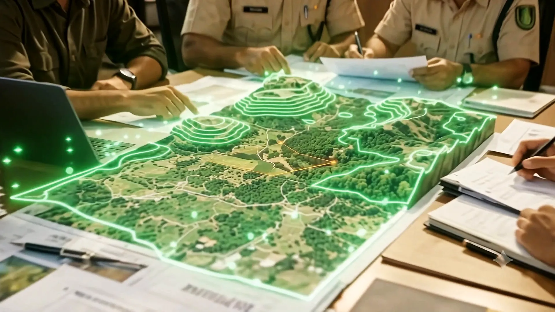
Requirements vary with the State, the category of project and the area involved, so treat this as the working list rather than the last word. What does not vary is the principle: every number in the file has to agree with every other number, and every boundary has to agree with the record.
1. Project and user agency
- Covering letter from the user agency, signed by the authorised signatory
- Authorisation or board resolution naming the signatory
- Detailed Project Report, or the project note with scope, cost and justification
- Administrative approval or sanction order for the project
- Project cost, with the component falling on forest land shown separately
- Alternatives examined, and the recorded reason for rejecting each
- Statement of employment, displacement and public purpose where applicable
2. Land and legal status
- Area proposed for diversion, in hectares, to three decimals
- Legal status — reserved forest, protected forest, village forest, deemed or recorded forest
- Division, range, beat and block, with the forest block names
- Village, hobli, taluk and district, with survey numbers
- Land schedule tallying with the maps and the KML
- Records of right, RTC or equivalent revenue extract
- Certificate on whether any part lies in a national park, sanctuary, eco-sensitive zone or tiger corridor
- Forest Rights Act compliance — Gram Sabha resolution and the district-level certificate
3. Maps and survey data
This is where most proposals succeed or fail. Every map has to be signed, scaled and consistent with the others.
- KML of the diversion area, closed, in WGS 84, with the area matching the form
- Toposheet extract at 1:50,000 with the project area marked, showing the sheet number
- Division or range map with the forest boundary and the proposed area marked
- Cadastral or village map with the survey numbers
- DGPS survey plan with the coordinate table of boundary points
- Alignment plan and L-section for linear projects, with chainage and the forest stretches identified
- Contour or terrain map where the slope matters
- Site photographs, geo-tagged, showing the land as it is
- Separate KML for the compensatory afforestation land
One test before you submit
Open the diversion KML and the compensatory afforestation KML side by side over the forest layer and read off the areas. If either differs from the land schedule by more than a rounding, fix it now. That single check prevents the most common EDS.
Run your KML through our free boundary tool to see the forest and non-forest split before you file.
4. Tree enumeration
- Enumeration list by species, girth class and number
- Total number of trees to be felled, and the number to be retained
- Enumeration map or sketch keyed to the list
- Growing stock and estimated volume where the division asks for it
- Declaration that the enumeration was done jointly with forest staff, where that is the practice
5. Compensatory afforestation
- Non-forest land identified, of the area required, with survey numbers
- KML and map of the CA land
- Title documents and the consent or transfer undertaking
- Suitability certificate from the forest department
- CA scheme and cost estimate
- Undertaking to bear the CA cost, NPV and other charges
- Where degraded forest land is proposed instead, the justification and the area at the applicable ratio
6. Mitigation, undertakings and payments
- Catchment area treatment or soil and moisture conservation plan where applicable
- Wildlife conservation plan where the area is sensitive, with the Chief Wildlife Warden's input
- Safety zone plantation proposal for mining and quarrying
- Undertaking that the land will be used only for the approved purpose
- Undertaking that no work has begun on the forest land
- Undertaking on felling only after Stage-II and the State's order
- Proof of payment of the applicable fees and charges
What gets proposals returned
- Area stated differently in the form, the KML and the land schedule.
- An unsigned or unscaled map, or a map that does not name the sheet or the scale.
- Compensatory afforestation land proposed without a suitability certificate or clean title.
- Forest Rights Act documents missing or out of date.
- Enumeration that does not match what the DFO finds on site.
- Alternatives section written as a formality rather than as a record of what was examined.
Formats you can download
Our survey format, handbook and standard operating procedure are free on the downloads page. The handbook sets out the approval stages, the PARIVESH documents, the Project Screening Committee, compensatory afforestation, NPV and the exemptions in more detail than fits here.
Frequently asked questions
What documents are required for forest clearance?
A complete proposal carries the project papers and DPR, the land details and legal status, the maps and KML of the diversion area, the DGPS survey data, the tree enumeration, the compensatory afforestation land with its title and suitability certificate, the Forest Rights Act compliance documents, and the standard undertakings and proof of payment.
The exact list varies with the State, the category of the project and the area involved.
What is the most common reason a forest clearance proposal is returned?
A mismatch between the area in the application form, the area in the KML and the area in the land schedule. The figures have to agree to three decimals, and they have to agree with what the forest boundary record shows.
Is a KML file mandatory for forest clearance?
Yes. The PARIVESH portal checks the submitted coordinates against the Ministry's own forest and protected area layers, so the KML has to be a closed polygon in the correct coordinate system, covering exactly the land described in the schedule.
Is Forest Rights Act compliance needed for every proposal?
Compliance under the Scheduled Tribes and Other Traditional Forest Dwellers (Recognition of Forest Rights) Act, 2006 — including the Gram Sabha resolution and the district-level certificate — is required in the cases prescribed. Check the position for your State and project category before assuming it does not apply.
Tell us what your project touches
Send the alignment, the survey numbers or a KML. We will tell you whether forest land is involved and what the proposal will take.
This page is general information, not legal advice, and the rules change. Check the current position for your case on parivesh.nic.in and forestsclearance.nic.in, or ask us. Last reviewed 2026-10-15.